Our Services

Mapping, photography, inspections, and more

Simple Process, Exceptional Results

Our platform makes it easy to request drone services and get high-quality results.

Request a Service

Tell us about your project needs, location, and timeline.

Get Matched

We match you with qualified pilots in your area who specialize in your required services.

Approve & Schedule

Review pilot profiles, approve your selection, and schedule the mission date.

Receive Deliverables

After the mission is complete, receive your high-quality deliverables through our platform.

Our Services

We offer a comprehensive range of drone services to meet your business needs across
various industries.

Aerial Photography & Videography

High-quality aerial imagery for real estate, marketing, events, and more.

Mapping & Surveying

Accurate 3D models, topographic maps, and volumetric measurements.

Inspections & Monitoring

Detailed inspections of infrastructure, construction sites, and properties.

Thermal Imaging

Identify heat signatures for energy audits, solar inspections, and more.

Agriculture & Crop Analysis

Monitor crop health, irrigation, and optimize agricultural operations.

Custom Solutions

Specialized drone services tailored to your unique business needs.

Drone Training Services

Unlock your potential with our industry-leading drone training programs. Whether you’re a hobbyist or aspiring commercial pilot, our certified instructors guide you through everything from flight basics to FAA certification and advanced aerial applications. Gain confidence, boost your skills, and be mission-ready.

Beginner Drone Pilot Training

Learn the fundamentals of drone operation and safety.

FAA Part 107 Certification Preparation

Get prepared to pass the FAA Part 107 test with expert instruction.

Advanced Aerial Maneuvers

Master flight control, GPS modes, obstacle avoidance, and more.

Industry-Specific Training

Tailored programs for agriculture, mapping, construction, inspection, and more.

Industries We Serve

Our drone services provide valuable data and insights across a wide range of industries.

Real Estate

Elevate property listings with stunning aerial photography and video tours.

Construction

Monitor progress, track materials, and document site conditions efficiently.

Insurance

Conduct detailed property inspections and damage assessments safely and quickly.

Energy & Utilities

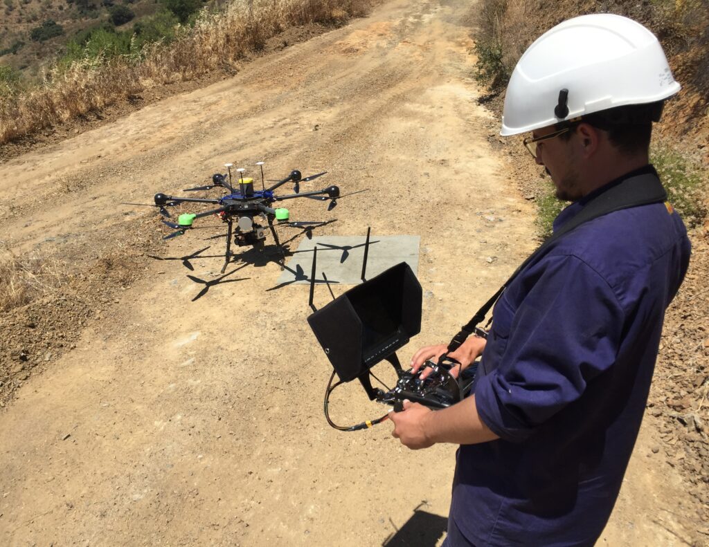
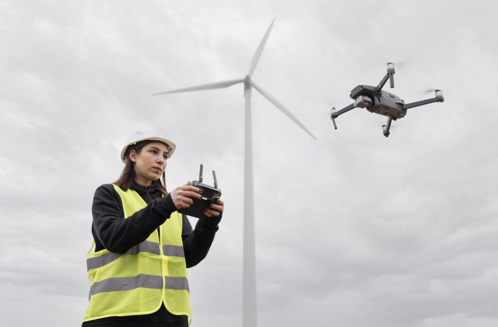
Inspect infrastructure, power lines, and facilities with precision and safety.

Agriculture

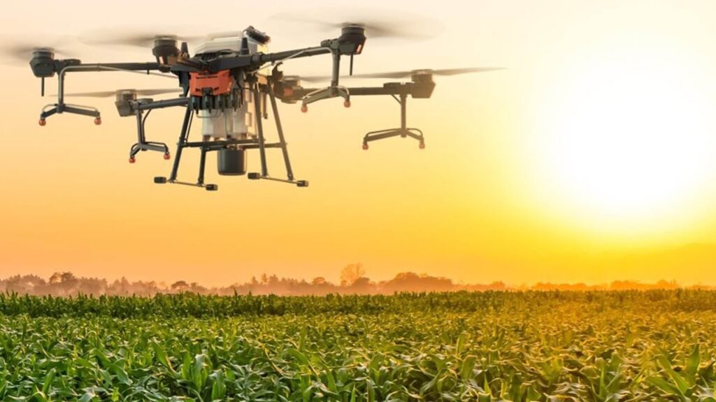
Monitor crop health, assess irrigation, and plan precision agriculture strategies.

Media & Entertainment

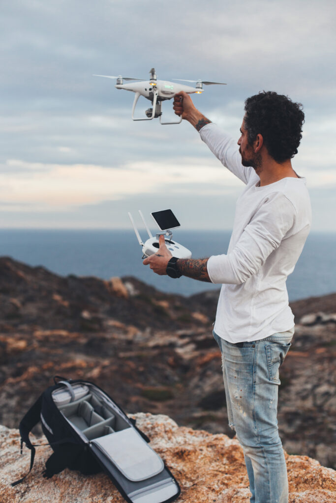
Capture breathtaking aerial footage for films, commercials, and events.

Mining

Calculate stockpile volumes, monitor site conditions, and improve safety.

Public Safety

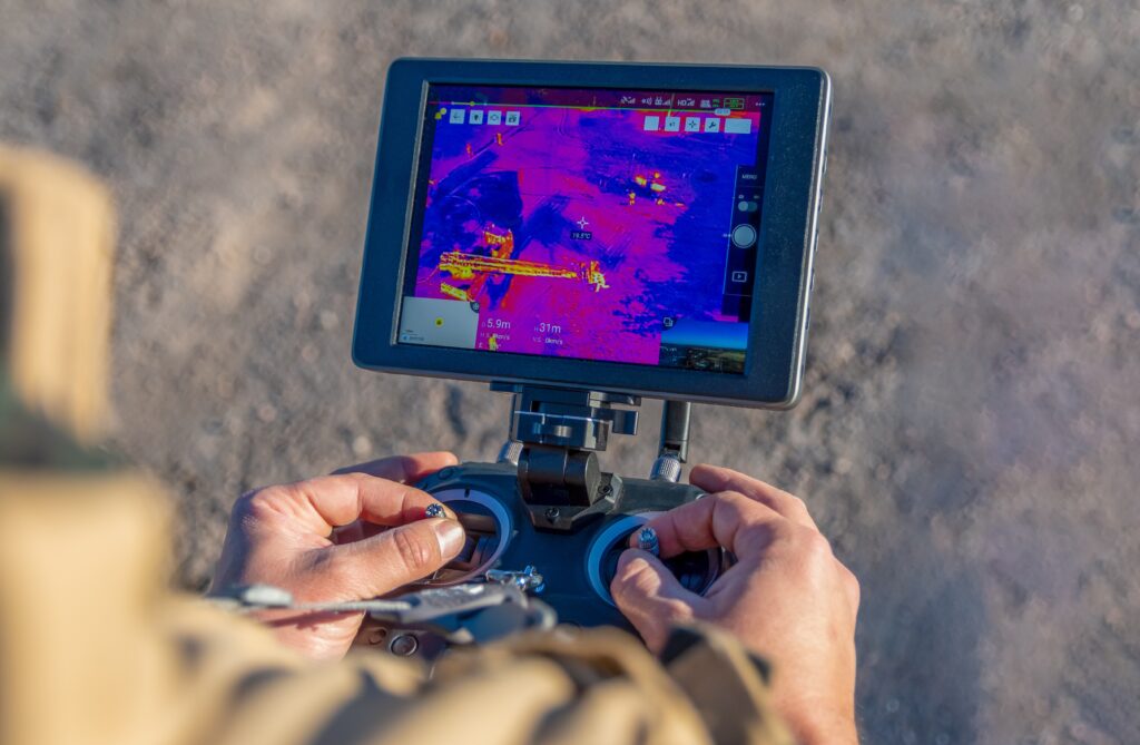
Support search and rescue, disaster response, and emergency management.

Surveying & Mapping

Create accurate topographic maps, orthomosaics, and 3D models of any terrain.

Fly With Us

With our cutting-edge software platform, we connect our pilots with data-seekers to form partnerships that fuel innovation across industries. Join the ranks of our pilots, and take fellow innovators to new heights.