Unlock a treasure trove of valuable data and insights with our cutting-edge drone services, designed to elevate performance across diverse industries!

Provide aerial monitoring, progress tracking, and 3D mapping for construction sites and infrastructure projects.
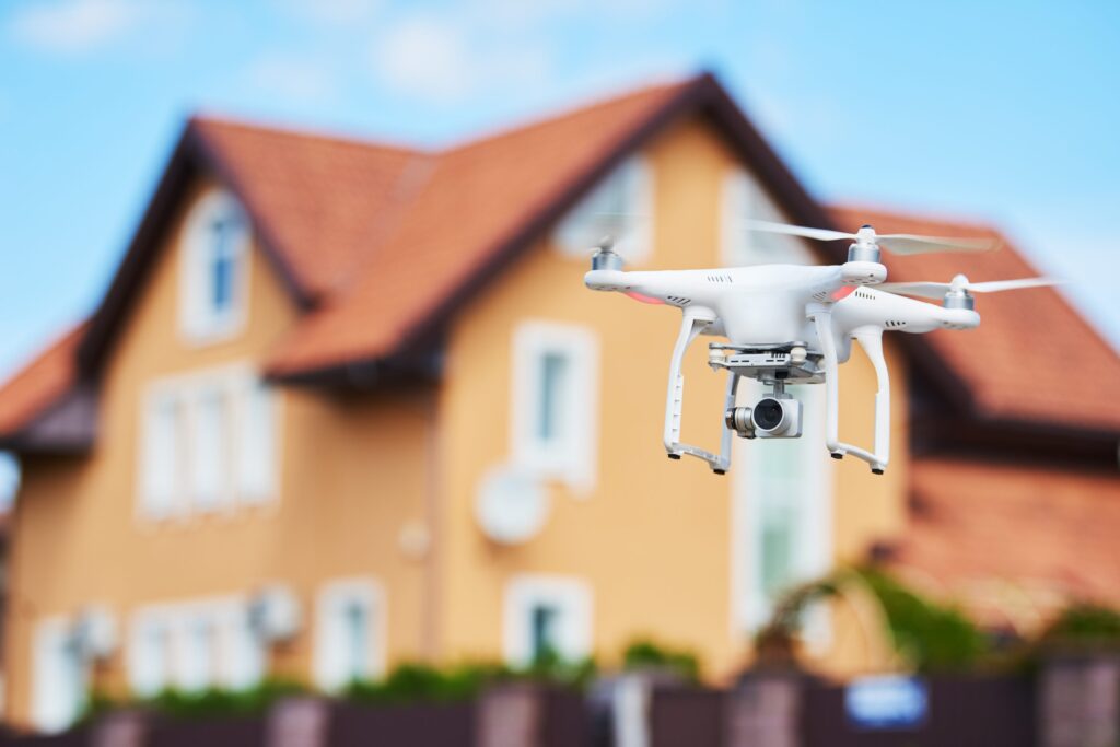
Capture stunning aerial photography and videography for residential and commercial real estate listings.
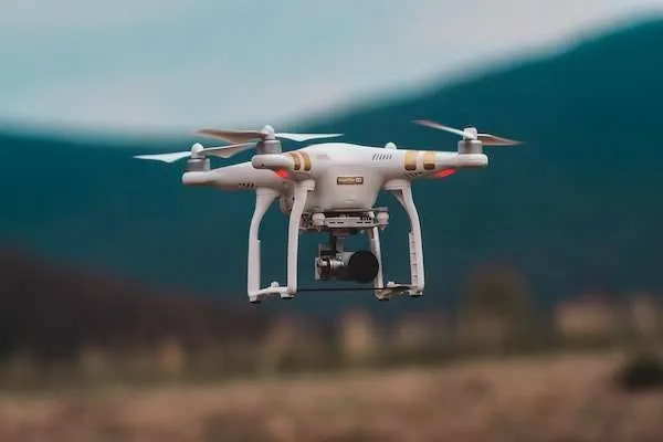
Conduct aerial inspections and damage assessments for insurance claims and risk management.

Perform inspections of power lines, solar panels, wind turbines, and other energy infrastructure.
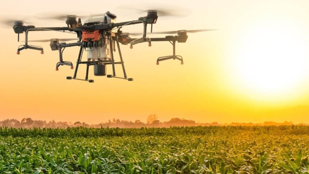
Provide crop monitoring, health assessment, and precision agriculture services for farms.
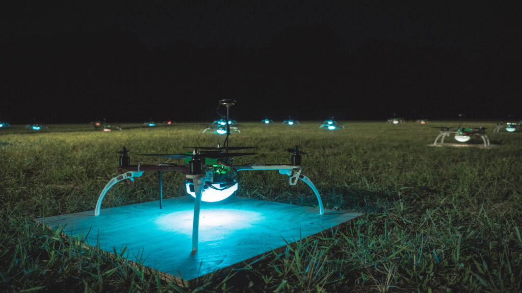
Capture cinematic aerial footage for films, commercials, events, and marketing campaigns.
Our drone services provide valuable data and insights across a wide range of industries.

Monitor progress, track materials, and document site conditions efficiently.

Conduct detailed property inspections and damage assessments safely and quickly.

Inspect infrastructure, power lines, and facilities with precision and safety.

Monitor crop health, assess irrigation, and plan precision agriculture strategies.

Capture breathtaking aerial footage for films, commercials, and events.


Create accurate topographic maps, orthomosaics, and 3D models of any terrain.
Our platform links expert drone pilots with clients seeking their services. Join our network and experience the benefits!
AINautics connects businesses with professional drone pilots nationwide. Request drone services or join our pilot network today.
Business Hours
Monday – Friday: 9:00 AM – 6:00 PM
Saturday: 10:00 AM – 4:00 PM
Sunday: Closed
Subscribe to our newsletter to receive updates on drone industry news and special offers.
By subscribing, you agree to our Privacy Policy and consent to receive updates from our company.